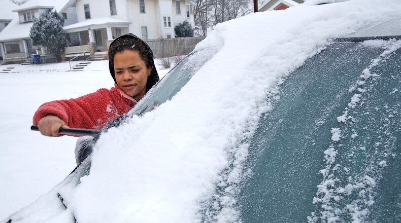
Complicating matters: after the bulk of the snow ends, bitterly cold weather returns as an Arctic blast hits this weekend ahead of a warming trend next week.
A winter weather advisory was in effect most of Friday through 1 a.m. today for the entire region, issued by the National Weather Service in Wilmington, due to snowfall.
A wind chill advisory was possible for today as sub-zero wind chill values will be likely today and Sunday mornings, according to the NWS.
The cold prompted the reopening today of Springfield’s new Extreme Cold Weather Shelter, hosted at the Salvation Army of Clark County at 14 S. Plum St. It is the result of a partnership between the Nehemiah Foundation Faith Community Crisis Response Team, Salvation Army, Sheltered Inc. and Homefull, plus the Community Development Department of the city of Springfield to offer shelter to people experiencing homelessness during the extreme cold.
The overnight low today was expected to reach 8 degrees.
Mostly cloudy skies and some flurries are possible today with a high of 18 and wind chills as cold as minus 7 degrees.
Some sunshine is expected Sunday, when the high will be 20 degrees.
Monday will be the start of a new workweek, and the start of a new weather pattern.
The high temperature on Monday will rise above freezing with partly sunny skies and a high near 35 degrees — after what will be an eight-day stretch of subfreezing weather. With the rising temperatures, the Extreme Cold Weather Shelter is expected to close Monday morning.
The temperature gets even warmer Tuesday and Wednesday when highs should reach into the 40s. Rain is likely those two days.
Credit: Bill Lackey
Credit: Bill Lackey

