—-
TORNADO NEWS: Get the latest news on the recovery after the Memorial Day tornadoes at DaytonDailyNews.com/tornado . There you will also find ways to help, photos, videos and more including a special 1-hour presentation of A Community Rises special that aired on WHIO-TV Channel 7.
—-
Especially during the spring and summer months, you’ll notice storms more frequently. That’s because the sun is stronger and helps to warm the surface of the earth much easier, which in turn warms the air above it. As that air warms, it begins to rise.
Warmer air is less dense than cooler air, so it will continue to rise as long as it’s warmer than the air that surrounds it. Sometimes this rising air may encounter a shallow layer of warmer air in the mid layers of the atmosphere. This is called a cap!
A cap can keep a thunderstorm from developing, but can also play a major role in severe thunderstorms. With the cap in place, the air below can continue to warm and/or moisten, thus, increasing the amount of instability.
The longer this cap holds, the greater the potential for strong to severe storms are to form. It’s at this point that heating, increasing moisture or some sort of lifting mechanism can trigger the updraft of a thunderstorm. Basically, the cap breaks and rapid intensification of a thunderstorm is possible.
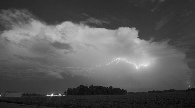
The rising air will cool, condense and form into towering cumulus clouds. If these clouds continue to build, they may reach atmospheric levels that are below freezing. Different types of ice particles may begin to form as the water droplets freeze within the cloud. When the ice particles collide with one another they create positive and negative charges. As the charges build up they may eventually release in the form of lightning.
There are three phases of a thunderstorm’s life cycle: the developing stage, the mature stage, and the dissipating stage.
The developing stage of the thunderstorm is shown by the building cumulus clouds which signifies the updraft. There is little to no precipitation during this stage.
As the thunderstorms enter the mature stage, the updraft continues, but precipitation begins to fall from the storm. The falling precipitation will create a downdraft. It’s during the mature stage that the heaviest precipitation will fall along with the best time for lightning, strong winds or tornadoes.
Eventually, the falling precipitation and the downdraft overcomes the updraft and the storm will begin to fall apart. That is when the storm enters the dissipating stage.
Did you know that thunderstorms help to keep Earth in electrical balance? The earth is charged negatively and the atmosphere positively. There is a constant flow of negative electrons upward from the earth’s surface. It’s thunderstorms that help to bring those electrons back down to the ground. According to NOAA, without thunderstorms creating lightning, the earth-atmospheric balance would disappear in 5 minutes!
When considering all of this, you may understand a bit more clearly why on a hot summer day thunderstorms develop in the afternoon, but die quickly after the sun sets.
Unless there is a trigger, like a front, these storms mainly live on the heating mechanism. As the sun goes down the environment begins to cool and storms will weaken.
You will likely see this time and time again this week.
About the Author
