»WEATHER: Get the latest Storm Center 7 forecast
But how did this happen? How did a cluster of showers turn into such a devastating force of nature?
The answer has to do with the “heat engine” of a hurricane. Tropical systems are much different than your average mid-latitude cyclones we see here in the Miami Valley that have a warm and a cold front with warm and cold air advection (it typically gets cooler after a storm system moves by). This type of storm system is what we call a “cold core” system, in that the center of the low-pressure system is colder than the rest of the system. Cold core storm systems need wind shear and usually the Jetstream to help intensify them.
Tropical systems are what we call “warm-cored” low pressure systems. As the name would suggest, the center of tropical storms, hurricanes or typhoons are warmer than the rest of the system. They also do not have a cold front or a warm front. These types of systems do not need wind shear or the jet stream to intensify. In fact, even a little wind shear would tear these storms apart.
Tropical systems are purely fueled by the warm ocean water instead of by wind energy and temperature advection. Think of the ocean as a tank of gasoline. Now think of the ocean temperature as being the octane of the fuel. The warmer the water, the higher the octane of the fuel.
Ocean water temperatures typically need to be at least 80 degrees for tropical systems to form. Before Hurricane Harvey formed, the ocean water temperatures in the northern Gulf of Mexico were nearing 90 degrees. So, you take a cluster of thunderstorms over that warm of water and take away any wind shear, then you will likely get explosive development of a tropical storm - thus Harvey was born.
»RELATED: Harvey: 50 inches of rain expected, will linger in gulf
The incredible amount of rain that tropical systems can generate has to do with two main reasons. One, the fuel source comes directly from the ocean and two, the warm-core or “heat engine” of the storm. First thing to remember is that warmer air has the ability to hold more moisture or water vapor than colder air. Also, as water vapor condenses into water droplets, this releases heat, thus warming the environment. This creates the heat engine of a tropical storm making the air even warmer in the center. The warmer it gets, the more moisture it can bring with it once it arrives on land.
»RELATED: Latest threat: Flooding in Houston
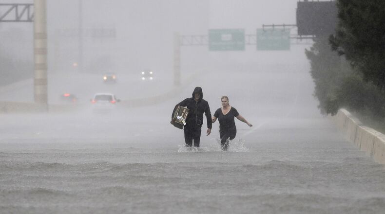
What is making the remnants of Hurricane Harvey so devastating is the fact that once making landfall, Harvey lost its steering currents which caused the storm to go nearly stationary. But the storms proximity to the Gulf of Mexico has helped maintain the heat engine and the constant inflow of moisture-rich ocean air.
The result has been catastrophic flooding, the likes we have never seen, and hopefully won’t again. However, as our climate gets warmer, such extreme events may become more likely. The warmer the earth gets, the warmer the ocean water gets and the more moisture the atmosphere can hold. All of this makes for the perfect set-up for extreme precipitation producing events.
Eric Elwell is WHIO StormCenter 7 Chief Meteorologist. Contact him at eric.elwell@coxinc.com or follow him on Facebook and Twitter.
About the Author
