>> LISTEN: Cloudy with a chance of Podcast: A podcast for weather fans
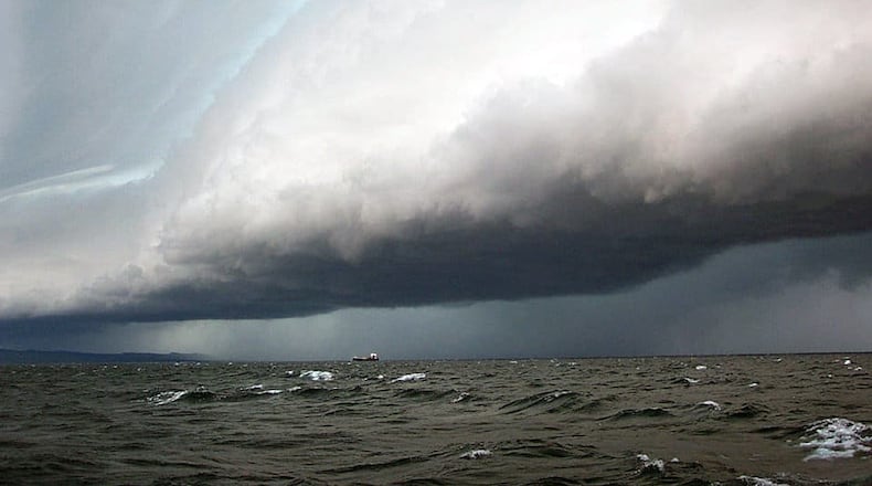
So what is a meteotsunami? While you've likely heard of a tsunami, which are gigantic waves produced primarily by earthquakes, meteotsunamis are driven by a rapid jump in air pressure associated with fast-moving weather event like severe thunderstorms.
Storms that moved across the area yesterday ended up creating a meteotsunami across the Mid-Atlantic & up into the SNE coastline. You can see the meteotsunami in the water fluctuations from area tidal gauges, esp in the New Haven gauge. Learn more here: https://t.co/o7GgowMUI2 pic.twitter.com/tble00XnNN
— NWS Boston (@NWSBoston) May 16, 2018
>>TRENDING: Three people dead in local murder-suicide
That's exactly what happened along the Delaware and New Jersey coastlines on Tuesday. According to NOAA, severe events like this can generate waves that move towards the shore, and are amplified by a shallow continental shelf and inlet, bay or other coastal features. Some meteotsunamis have been observed to reach as high as 6 feet.
A meteo-tsunami? Seemingly so in collaboration w/ the National Data Buoy Center well S of Long Island as a result of recent convection ... we're monitoring buoy 44402. Statement: https://t.co/OCB69KpqrX ... buoy info: https://t.co/kmGtGldGqj pic.twitter.com/YvVWIxf2wa
— NWS Boston (@NWSBoston) May 16, 2018
>>RELATED: When Venus will be very visible in night sky
Meteotsunamis can occur in many places, including the Great Lakes, Gulf of Mexico, Atlantic Coast and the Mediterranean and Adriatic Seas.
About the Author
