MORE: Mercy Health opens coronavirus hotline
Burr said crews had been dispatched to areas of the county affected by flooding and were setting up signs, determining road closures and removing debris caused by the rain.
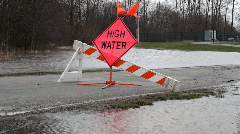
As of Friday afternoon, multiple roads had been closed and signs warning of high water had been posted. Crews were also monitoring roadways that had remained open.
Spangler Road between Interstate 675 and Lower Valley Pike was closed due to high water. Lower Valley Pike between State Route 369 and Old Mill Road had also closed along with Lower Valley Pike between Old Mill Road and Route 4; Enon Road between Lower Valley and US 40 and Haddix Road Between Co Line and Short Spangler were also closed.
MORE: Coronavirus: Senior centers to close Monday; first death confirmed in Ohio
In the southeast part of the county, road closures included 7000 Jamestown Road and 6880 Old Springfield Road.
Burr said Spangler Road and Lower Valley Pike are common flooding areas in the county. He said it all depends on how long it takes for the river to go back down, when asked, Friday afternoon, when roads impacted by flooding would be reopened.
About the Author
