
It is available on paper and digitally for users of mapping systems and other mobile devices.
RELATED: Miami Valley Ohio Bikeways Guide Map
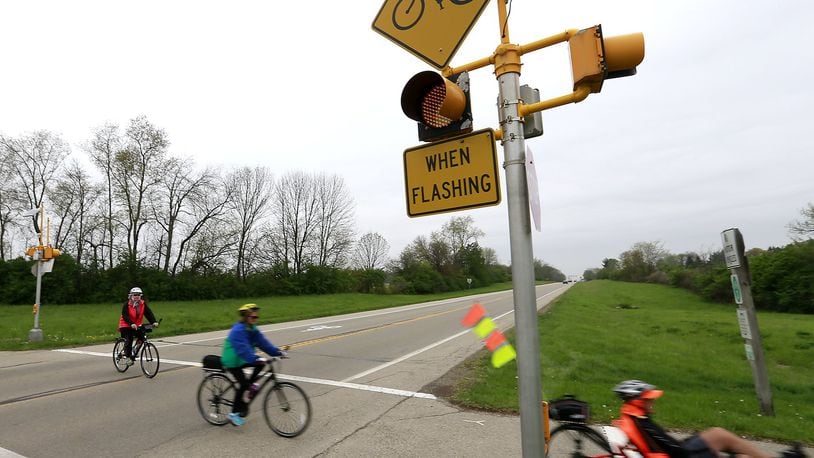
The system, which MVRPC calls the nation’s largest paved trail network, threads through the region serving walkers, runners and riders.
Included on the new map - available on paper at locations in Clark, Greene, Miami and Montgomery counties - are more than seven miles of the Great-Little Trail, from the Medlar Reserve and Crain’s Run Park in Miami Twp. and Miamisburg. The trail section heads east from the Great Miami River, across Interstate 75 and past Austin Landing.
RELATED:East-west connector through southern suburbs
“It should continue growing in length in the coming years. The idea is to eventually get it over to the Little Miami,” Kjirsten Frank Hoppe, a planner with MVRPC’s Sustainable Solutions & Transportation Alternatives department, said in a phone interview.
Hoppe was referring to the Little Miami Scenic Trail, on the east side of the region.
MORE:10 Things About the Little Miami River
On the west side, the Great Miami River frames the valley.
The new maps also mark hospitals in hopes of serving out-of-towners peddling around the area or local users who pull a muscle or suffer some other injury while out for fun, on a shopping trip or commuting to work.
Previously described as 330 miles in length, the new greater estimate was included last week in the MVRPC announcement of the 5th Edition of its Bikeways Guide Map.
“We work to capture everything connected to The Nation’s Largest Paved Trail Network – including community trails where we can,” Hoppe said in an email.
New trails connect to riverways and beyond
The Great-Little Trail would be one in a series of connectors, linking lengthy north-south spans along the Little and Great Miami.
These, along with connections to parts of Ohio and the rest of the country, are part of a national effort to provide various alternatives to motorized travel across America.
The regional segment of newly designated US Bike Route 50 is already in place.
On paper, the route, designated at the state and federal levels, stretches from Washinton D.C. St. Louis. But much has yet to translate into grounded reality.
In the Miami Valley, the route starts as the Ohio-to-Erie Trail from Columbus to Xenia, where it joins the Creekside Trail heading west to Beavercreek.
The trail continues west onto the Mad River Trail through Dayton and then the Wolf Creek Trail, west to Verona and into Preble County.
At the same time, two other efforts are in motion connecting the north-south routes along the Great and Little Miami rivers.
MORE: Conservancy preserving Little Miami corridor
In Miami County, the route would follow the Ohio-to-Indiana Trail.
In Warren and Butler counties, north of Cincinnati, the establishment of the M2M Trail is in process.
RELATED: Plan in place for connector trail in Butler, Warren counties
“We talk about rungs on a ladder,” Hoppe said.
Other trail advocacy in region
Turning to politics, trail advocates last month met with Ohio lawmakers about formation of the Ohio Trails Caucus.
“There are so many groups agitating for trails around Ohio,” Aaron Rourke of Friends of the Little Miami State Park said. “Ohio is the first state to form a caucus.”
MVRPC is hardly alone in promoting and extending the regional network.
The Ohio-Kentucky-Indiana Regional Council of governments mirrors MVRPC at the south end of the valley in promoting trails and other transportation alternatives, as well as highway networks.
In Warren County, planners developed a map of existing and envisioned trail routes through the Lebanon Turtlecreek Twp. Trails Initiative in part in anticipation of qualifying for millions of dollars in federal funding for trail projects.
RELATED: Trail network would connect Lebanon area to regional network
Trail networks are also being extended in Butler County.
RELATED: Monroe to complete connector trail section
Today isOpening Day for Trails, a national event organized by Rails-to-Trails Conservancy. Tri-State Trails in Greater Cincinnati is staging a series of events, including a ride starting at 10 a.m., Sunday, April 9, at the Trenton trailhead of the Great Miami River Trail.
On Earth Day, Saturday, April 22, a bike ride promoted by Springboro Bicycle & Pedestrian Advisory Committee will begin and end at 2 p.m. at the Crooked Handle Brewing Co. in Springboro.
Part of the city’s Bike the Boro campaign, the ride will begin with orientation before peddling onto the city network.
The city already has a 60-mile network of trails and marked routes along city streets as well as two SPARC and Gos, where trail users can charge their cellphones, repair their bikes, use a rest room or simply get in out of the weather.
RELATED: Springboro latest piece of regional trail puzzle
Eastward across the Miami Valley, the Clinton County Park District at 10 a.m. on Earth Day will be dedicating a new 7.1- mile section of the Clinton/Fayette Friendship Trail, ultimately expected to continue on to Washington Court House in Fayette County.
The dedication, under a water tower in Sabina, near Ohio 3 & US 22, will also feature a bike rodeo.
On March 28, Lebanon City Council approved demolition of a house in the path of a reroute of its trail system.
MORE: Historic structures demolished for trail relocation
Efforts augmenting the regional network are expected to draw tourists and encourage millennials deciding where to locate.
Beyond those factors, the network is seen as key to improving the health of the existing residents of the Miami Valley.
“It enhances the lifestyle for all of us that live here,” Rourke said. “With all the public health problems plaguing us, that’s probably more important than we’d like to admit.”
SOCIAL MEDIA: Follow Lawrence Budd on Twitter
Obtain Copies of New Regional Trail Map:
Clark County Park District, 5638 Lower Valley Pike, Springfield, 45502
National Trails Parks and Recreation District, 1301 Mitchell Blvd., Springfield, 45503
Greene County Parks & Trails, 575 Ledbetter Road, Xenia, 45385
Miami County Park District, 2645 E. Ohio 41, Troy, 45373
Five Rivers MetroParks, 409 E. Monument Ave., 3rd Floor, Dayton, 45402
Centerville-Washington Park District, 221 N. Main St., Centerville, 45459
Call 937-223-6323
Visit http://www.mvrpc.org/
Earth Day Bike Events
Saturday, April 22, 2 p.m.
Earth Day Bike Ride at Crooked Handle Brewing Company
760 N. Main St. (Ohio 741), Springboro
Springboro’s Bicycle & Pedestrian Advisory Council and Crooked Handle Brewing are organizing a ride in honor of Earth Day, starting and ending at the brewery. For more information, visit www.BikingInTheBoro.com
Clinton/Fayette Friendship Trail Dedication
Saturday, April 22, at 10 a.m.
The Clinton County Park District will be dedicating a new 7.1 mile section of the Clinton/Fayette Friendship Trail designed to connect to Washington Court House in Fayette County. The dedication is in Sabina, near US 3 & Ohio 22, under the water tower. There will be refreshments, a bike rodeo and speakers. Anyone is welcome to attend. For more information, call 937-725-3443.
About the Author