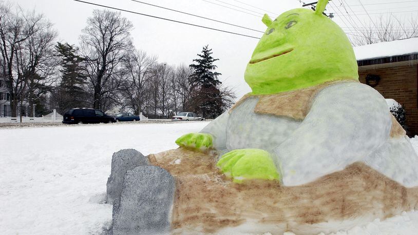
While we may get a little taste of Spring Fever this Valentine’s Day, this week in February can be known to be one of the roughest weeks of winter in our history. Fifteen years ago, a storm that would rival the Great Blizzard of 1978 developed across the southern Rockies early Friday morning of Feb. 14, 2003.
»RELATED: Elwell: Winter could hang around until April
The storm then moved eastward, spreading heavy snow and freezing rain into the Ohio Valley on that Valentine’s weekend. The storm produced near blizzard conditions from Dayton to Columbus and eastward where over a foot of snow fell through the weekend.
In the Miami Valley, the 2003 storm produced 12.1 inches of snow on that Valentine’s weekend. That was the most amount of snow to be produced by a single storm in Dayton since the Blizzard of ‘78, which produced 12.9 inches of snow. Granted, the very next winter, a massive storm just before Christmas in 2004 produced a whopping 16.4 inches, shattering the snowfall amount produced by the 1978 blizzard.
»TRENDING NEWS: Armed robbery shows uptick in teen gang activity
It is important to note that the Blizzard of ‘78 had been preceded by previous storms in which there was already nearly a foot of snow on the ground when that blizzard arrived making the ‘78 blizzard more extreme, not to mention the severe winds the blizzard produced.
So, this Valentine’s Day may not provide best cuddle weather for you and your special someone. However, I doubt too many will complain with a break from the cold. As of Monday, temperatures have averaged nearly 5 degrees below normal for the month. We’ve also received 17.1 inches of snow in the Dayton area, which is well over the amount of snow that we received by this same date the last two years - combined. While that may seem like a lot of snow, believe it or not we are still within the top-10 least snowiest winters.
»RELATED: Elwell: Sick of the snow? You shouldn’t be
Whether we stay in the top-10 will be determined by what happens the next few weeks. But it would appear we may have to wait until the end of the month before any significant winter storms threaten. Stay tuned!
Eric Elwell is WHIO StormCenter 7 Chief Meteorologist. Contact him at eric.elwell@coxinc.com or follow him on Facebook and Twitter.
About the Author
